A grand tour of Switzerland
Published on .
The Grand Tour of Switzerland is a 1,600 km route devised by the Swiss tourist board. Despite having lived in Switzerland for over four years, I’ve not seen much of the country, and so took the lack of other holiday destinations thanks to COVID-19 as an opportunity to fix that, using the Grand Tour as a template.
I couldn’t find much online from folks who’d already done the tour, so this post is a summary of my experience doing most parts of it.
As you’ll soon find out, I’m not much of a travel writer. So I won’t try to woo you to Switzerland, but if you’re in the area or looking to do a similar trip yourself, you might find some of the things here interesting.
The route
If you take the tour as laid out by the tourist board, it’s huge. Visiting nearly every major Swiss city, lake, mountain, and vista, you’d probably need a month or so to be able to do each spot justice.
The map above shows the route we took, a trimmed-down version which avoids most of the north-west of the country. That region is nice enough, but we’ve visited some of it before and wanted to spend more time in places unexplored.
All told, we spent 12 nights staying in mixture of Airbnbs and hotels, driving around 1,500 km mostly on country roads and mountain passes, with the odd stint on the motorway. We started in Geneva and made our way clockwise, following the ample Grand Tour signage.
Geneva to Saanen
Having done a lot of stuff around Lake Geneva already, we drove almost straight to a hotel in Saanen, near Gstaad, stopping off on the way at a Gruyère cheese factory.
The region around Saanen is outrageously picturesque, and there are lots of nice, easy walks to take it all in.
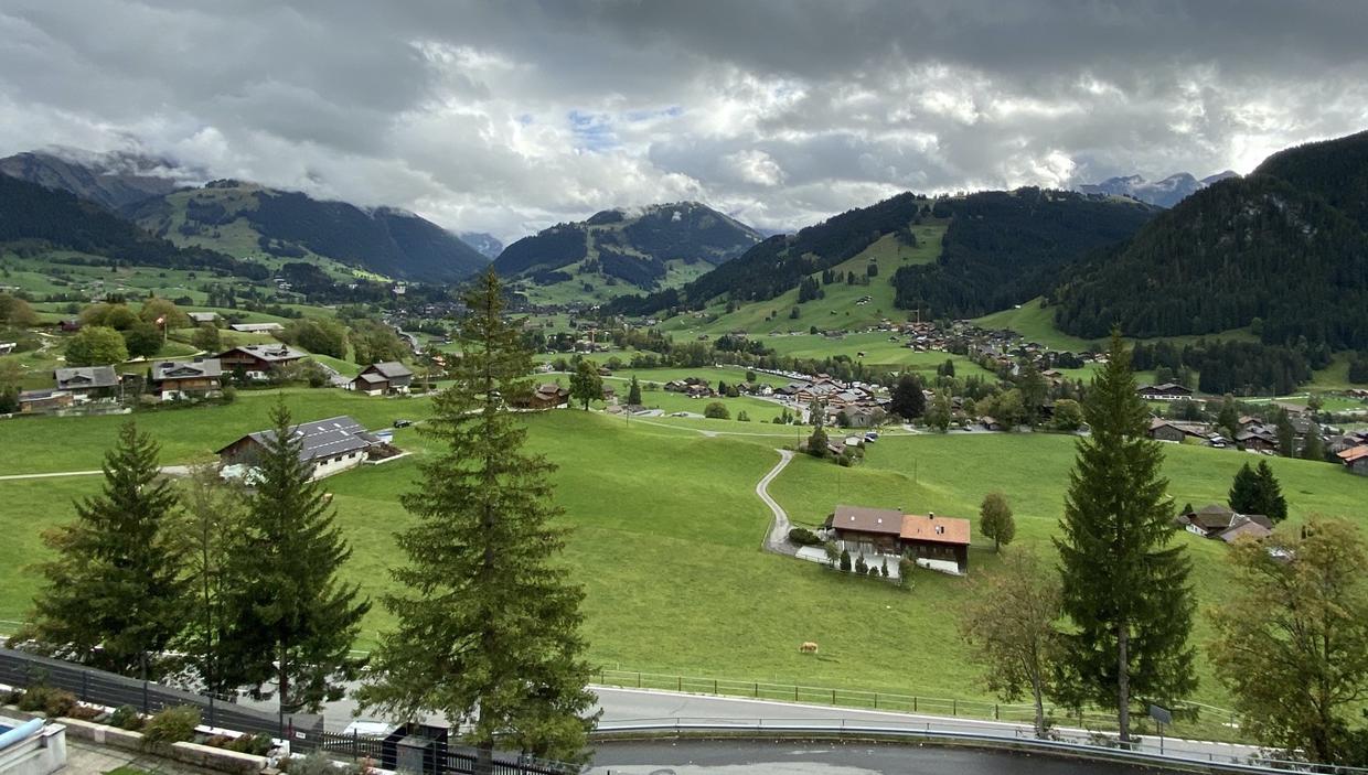
In the past we’ve been:
- Around the Lauenensee (see is German for lake) from Lauenen village.
- Around the Arnesee.
- Along the panoramic Rinderberg mountain hike, which starts with a cable car ride up from Schönried, ending with a cable car down to Zweisimmen and a train ride back to Schönried.
- Around Château d’Oex and Rougemont, pretty villages with a walking tour on decoupage.
These are all top-notch and nothing strenuous.
Saanen to Krattingen
After one night in Saanen, we headed to the harbour town of Spiez, sitting on Lake Thun. The drive to Spiez is through the Simmental valley, winding along the Simme river. On the way you might consider:
- Driving up (a very narrow road!) to the Seeberg lake.
- Taking the cog railway up to the Niesen summit.
Our day here was cloudy and the webcam up the Niesen showed nothing but fog, so we skipped that and walked around Spiez for a while, walking up to a viewing platform at Spiezberg and down through some vineyards to the harbour.
Our Airbnb was in Krattingen, which is perched on a hill south-east of Spiez around the lake. Wondering around the village gives you lots of lake vistas and cow bells.
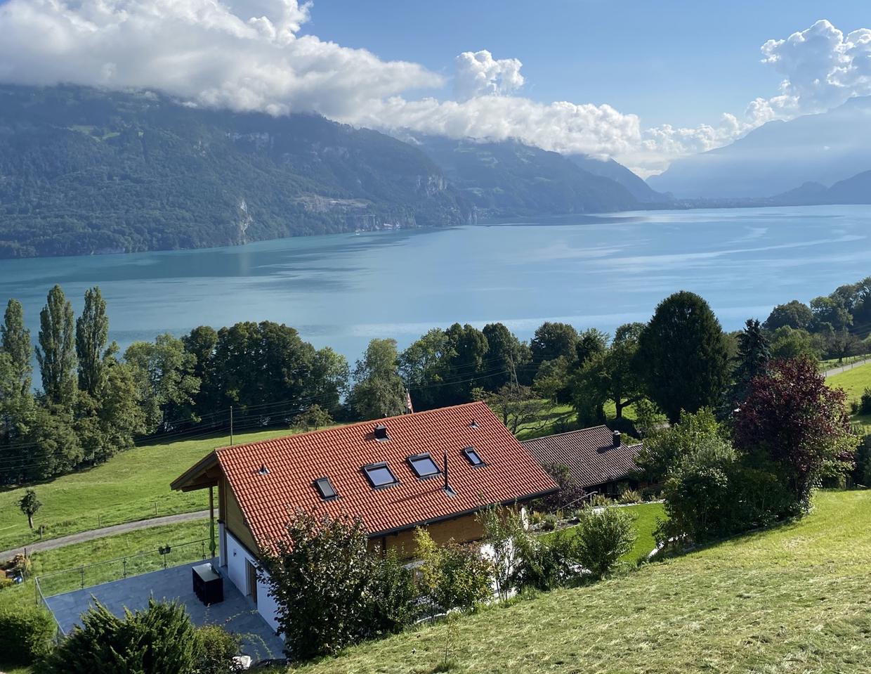
The next day we drove past Interlaken—which sits to the east of Krattingen in between the twin lakes Thun and Brienz—into the Grindelwald valley. Even with a lot of stubborn cloud cover, this is a beautiful place.
We took a gondola up to Männlichen station, where you can see down into the neighbouring and equally beautiful Lauterbrunnen valley, full of waterfalls.
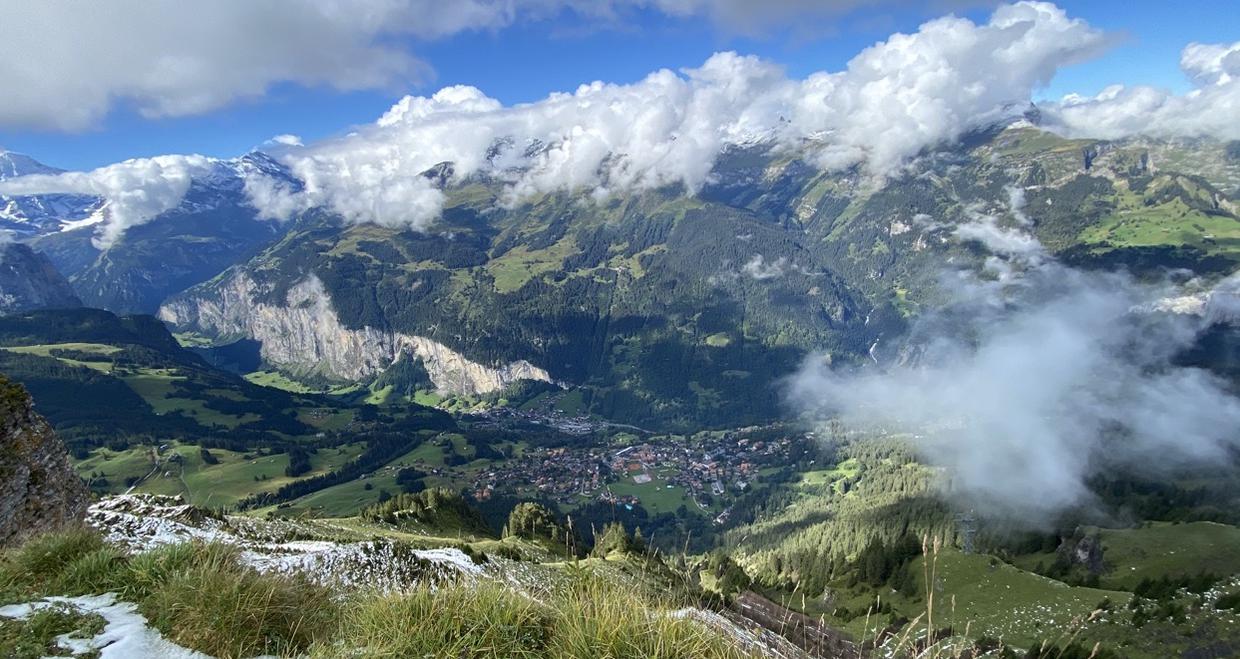
After taking the short royal walk up to the summit, we then strolled along the panorama trail and took the cog railway from Kleine Scheidegg station back down to Grindelwald. The weather hid the most impressive views of the twin lakes and the Eiger-Jungfrau-Mönch mountain range. I’d like to come back to see these.
Stopping off to visit Interlaken for an hour or so, we walked through the short high street and past the river that connects the two lakes.
Krattingen to Lucerne
The official Grand Tour route pitches north-west from Interlaken towards Bern, but having visited Bern before without having been particularly enamoured by it we took a detour, driving along the north side of Lake Thun and then north-east through the countryside, rejoining the tour at Wiggen.
A large part of the detour was through the Entlebüch biosphere, a UNESCO-recognised nature reserve. We stopped briefly along the way to stretch our legs and saw an eagle fly overhead, before moving on to the town of Entlebüch to have lunch down by the Kleine Emme river.
Moving on to the town of Sursee, we strolled around the old town and down to the small lake. I wouldn’t say it’s worth a detour but it’s a nice place to stop for an hour or two.
Finally, we went straight to Lucerne from Sursee, deviating again from the Grand Tour route. The old part of Lucerne is charming and full of character. We ended the day watching the sun set across the lake from the hotel room.
(As you might gather, there are a lot of lakes.)
Luzern to Zurich
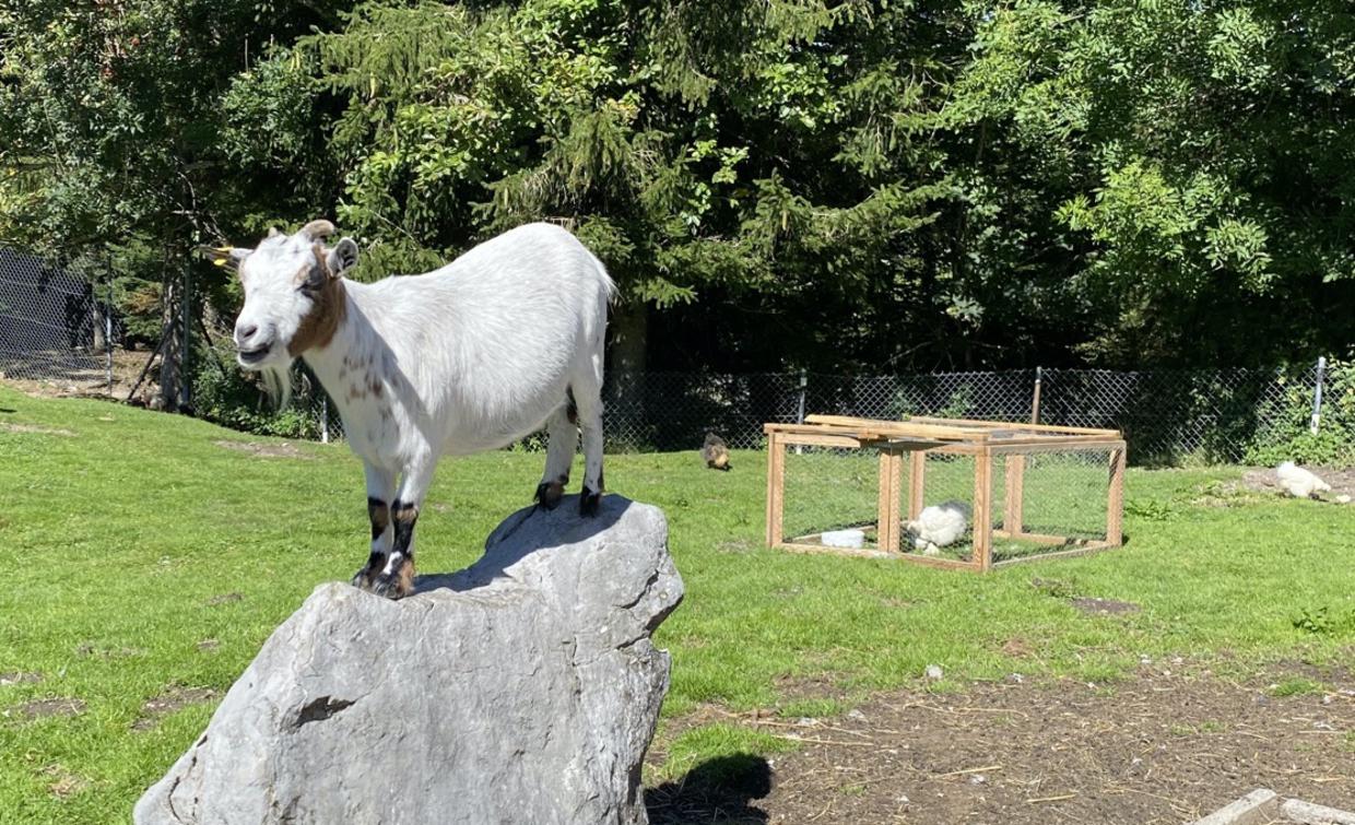
Rather than taking the car ferry over Lake Lucerne and going via Schwyz, as recommended, we drove to Sattel-Hochstuckli on the motorway. This is a rather family-oriented mountain area which you reach via a (rotating!) cable car just off the motorway. Up the top there are a few quiet, winding paths through fields and forests, and goats.
We continued on to Zurich, checked into an Airbnb, and spent the afternoon wondering around the city centre. It felt a lot warmer and more vibrant than Geneva; a place where Real People live. There’s another lake, which was filled with folks chilling out beneath the late-summer sun.
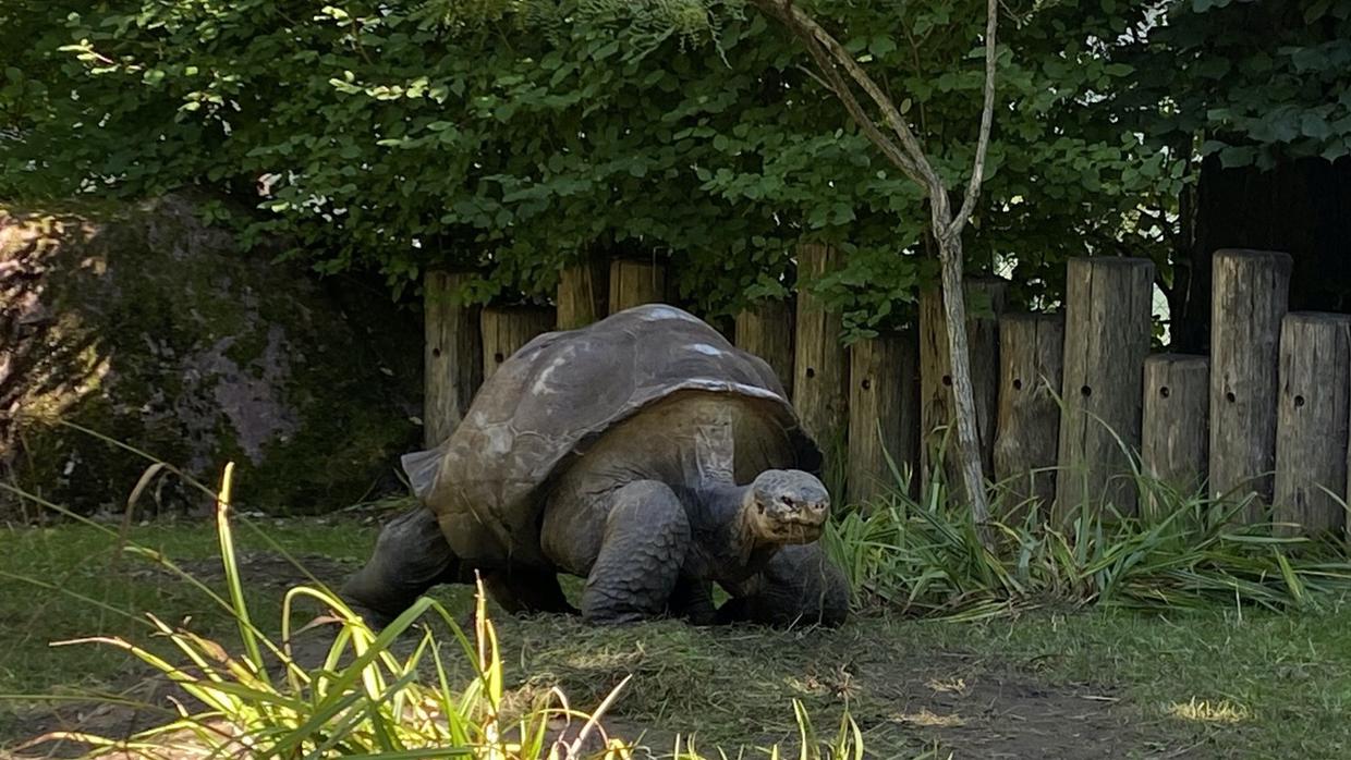
The following day was spent mostly in Zurich zoo. I’m a sucker for an animal or two and this place was really great.
Zurich to Gonten
Having seen enough lakes, we decided to bypass the route, which would have taken us along the southern shore of Lake Constance. Following instead a recommendation to visit the Rhine Falls, it turned out to be super busy when we got there, and we didn’t fancy the queues or crowds. Instead we walked around a bit to find a spot for lunch, and then took the motorway for an hour or so towards St. Gallen, where we rejoined the Grand Tour route.
Past St. Gallen takes you through the two Appenzell cantons. If you already have a picture of stereotypical Switzerland in your head—of lush, rolling mountain pasture and alpine wildflower meadows—you could do worse than to replace it with Appenzell.
At least, that was my idea. The weather was particularly bad now and for the next couple of days, so the idyllic mountains hikes I was hoping for were ruled out. Going up the Ebenalp with the Wildkirchli grotto and precariously perched Aescher guesthouse is supposed to be particularly nice.
We did at least see Appenzell town. It was nice enough, but to my mind didn’t warrant the mass of bussed-in tourists.
Gonten to Davos
Staying the night at a hotel down the road from Appenzell in Gonten, we then drove on, taking the bad weather with us towards Davos.
We stuck to the Grand Tour route, visiting Vaduz (in Liechtenstein, with supermarkets open on a Sunday!) and then leaving and rejoining at Maienfeld to visit Bad Ragaz and the Tamina Gorge. This is worth a stop: you can take a Post Bus from the train station in Bad Ragaz up to the gorge, have a walk through it and see the thermal spring, and then stroll down a calm valley back to the town.
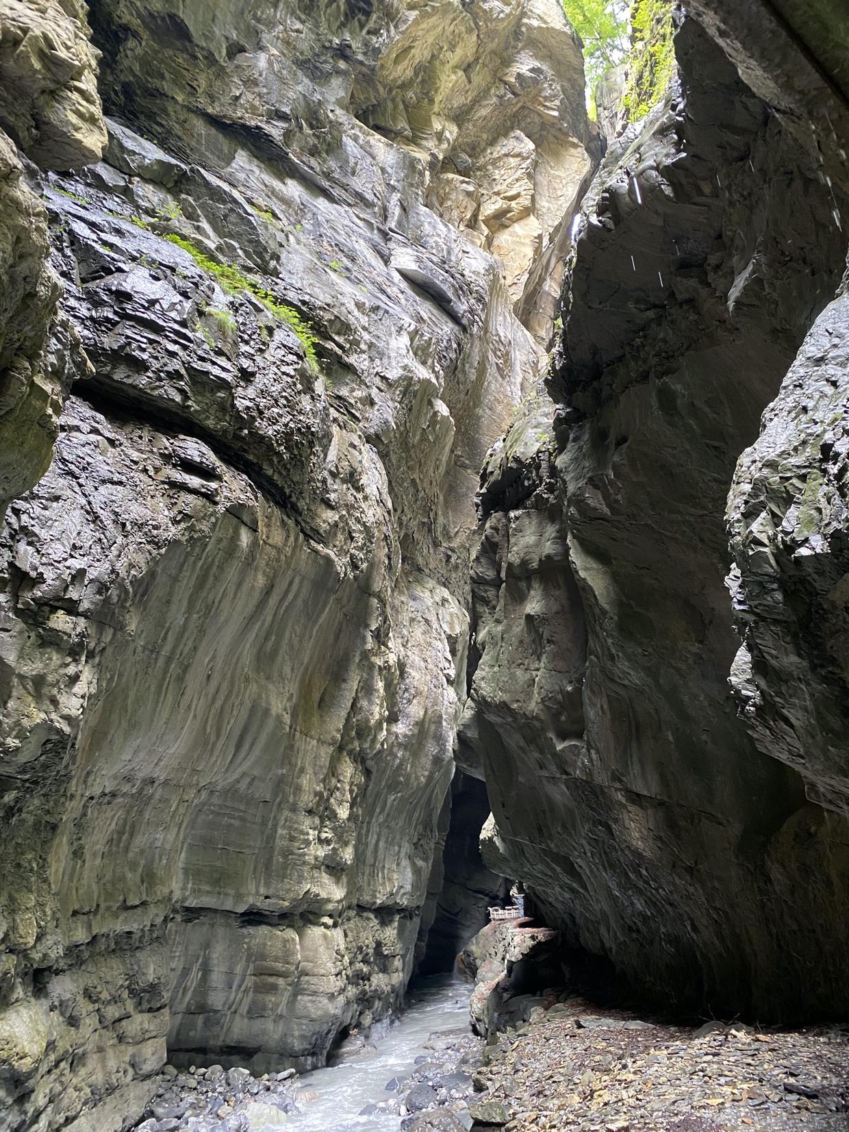
Maienfeld is supposed to be another idyllic Swiss nature stop, but the weather put a plug in that.
Davos to Giubiasco
In Davos we had a Airbnb for a couple of nights, and the weather continued to disappoint for the full day we had there. In lieu of a mountaintop panorama, we walked around tiny Lake Davos in the morning and took a short funicular in the afternoon to reach a small but pleasant alpine garden.
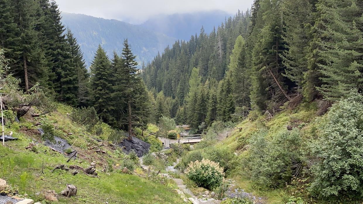
The morning we left Davos, the weather finally cleared up. This was just as well, because the scenery and the driving were spectacular.
The Flüela pass was the first of three mountain passes of the day. This takes you from Davos to the middle of the Engadin valley, which we drove through down to pretty St Mortiz where we walked around another small lake and had lunch.
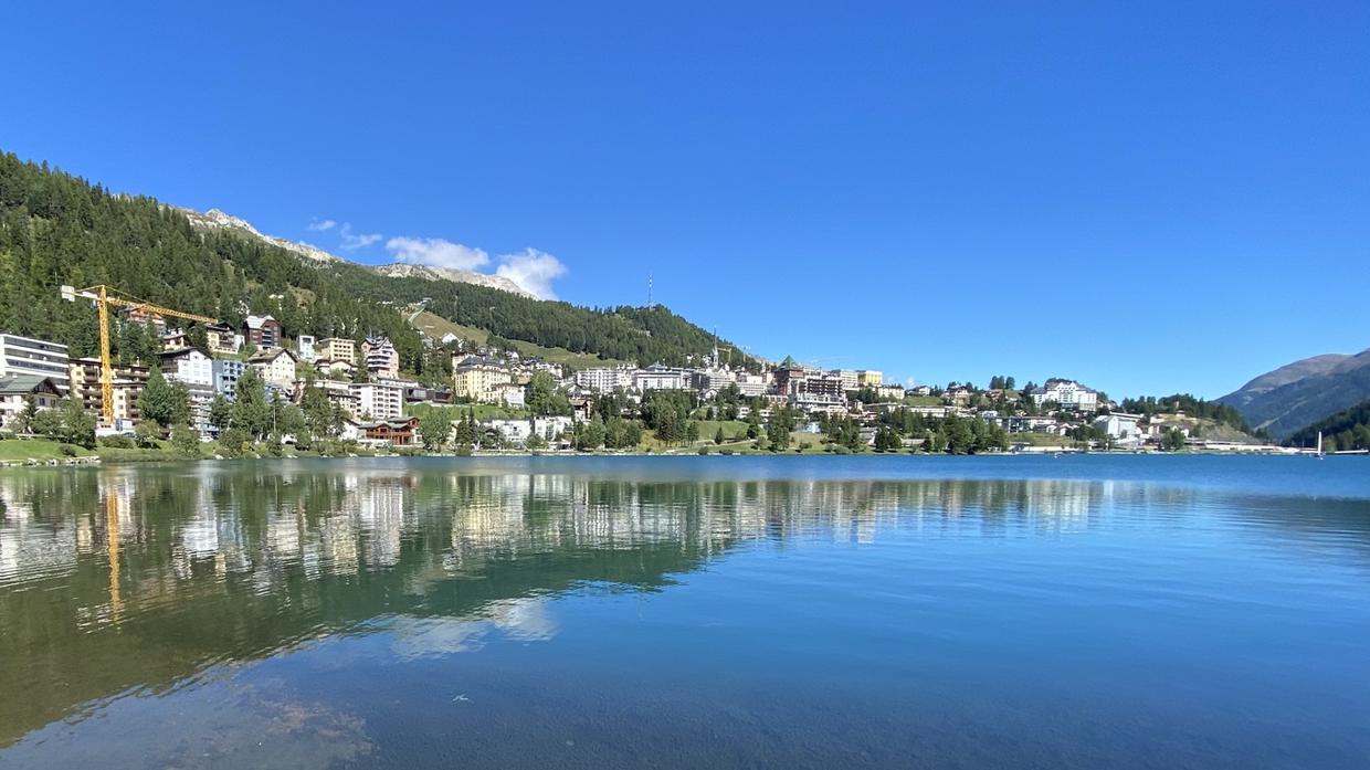
There’s a huge number of mountain trails to do here, with plenty of gondolas to take you up to the start of them. We were pressed for time; I’d like to come back here to catch the views, to make up for the poor weather that took these away from us the previous few days.
From St. Moritz, we took the Julier pass and drove through some superbly named Swiss towns.
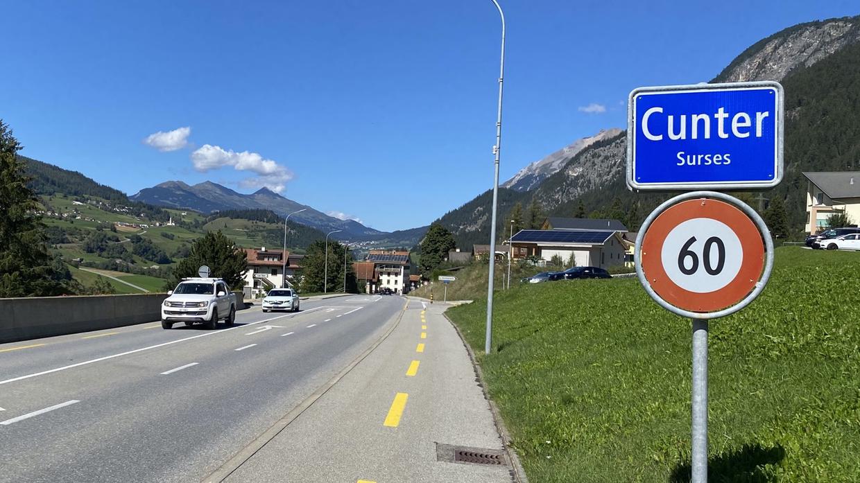
Turning south, we took a pit stop in Andeer before driving over the San Bernardino pass towards Ticino, the Italian-speaking canton. We joined the motorway through the valley soon after descending from the top of the pass, stopping in a hotel in Giubiasco for a night. It’s cool how much of a different feeling this part of Switzerland has; much more Mediterranean, and somewhere I’d like to spend more time in the future. (Lugano, a bit further south, is a part of the Grand Tour we skipped.)
Giubiasco to Zermatt
A second day with lots of driving and lots of hairpins.
Again, we took the motorway most of the way up to the beginning of the Gotthard pass. The new pass is an amazing feat of engineering; a huge, easy road snaking its way up the mountain.
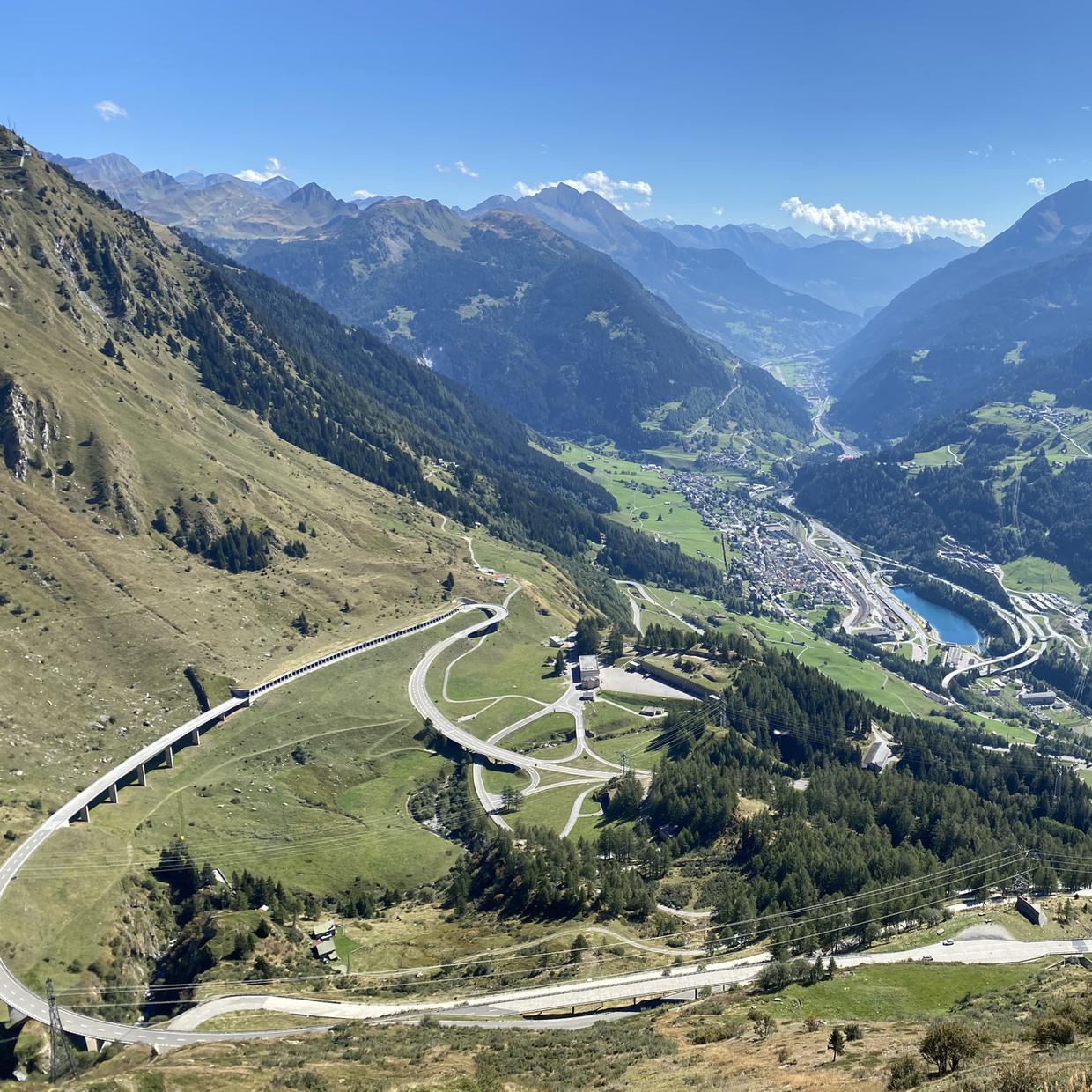
You can see the old Tremola pass from the new. The old pass is cobbled, which I figured would quickly get tiring to drive on, but it’s one of the most iconic roads in Europe, with good views of it from the new pass. There’s a convivial atmosphere at the top, where lots of cycling, motorbike, and driving enthusiasts stop at the top to take in the air and a barbecued sausage.
The Furka pass was the final mountain road of our tour, and is a bit hairy on the eastern/Uri canton side, being quite narrow and tight.
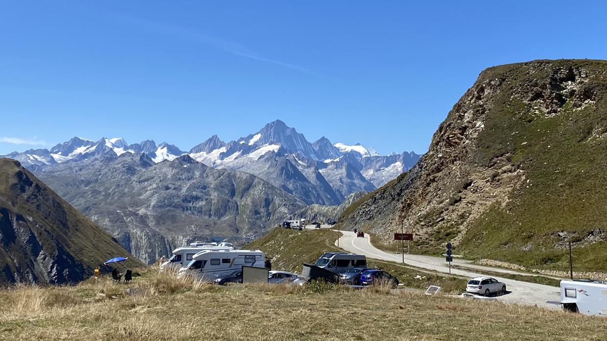
The road widens considerably on the western/Valais canton side, where you drive past the Hotel Belvédère and through seemingly endless views of the Valais valley.
Zermatt to Geneva
Zermatt is a small town tucked within the Matter valley, surrounded by mountains and with views of the iconic Matterhorn. Very few vehicles are allowed, and so instead most tourists park in the neighbouring town of Täsch and take a short train ride to Zermatt.
To round off the holiday, we had a couple of nights in a hotel, and were lucky enough to have a little balcony to spend the evenings on with a view of the Matterhorn.
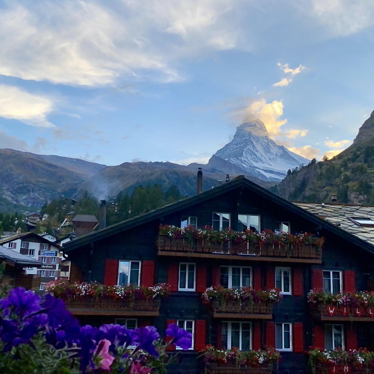
During the day, we took the cog railway up to the top of the Gornergrat and then walked down to Riffelberg station, taking the train back down to Zermatt.
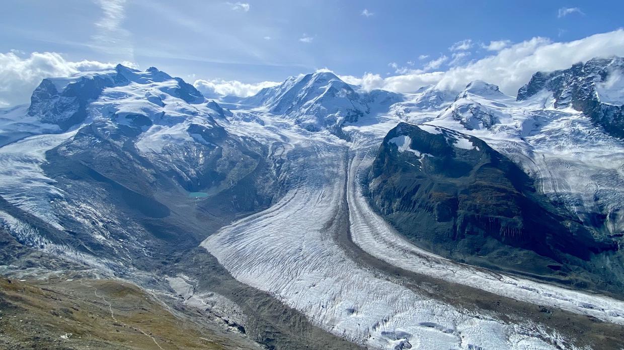
You can extend the walk further down for bonus points and even more views of the mountains. We walked around Zermatt and north out of town into the valley in the afternoon. With more time, there are walks to and from Täsch (where you can spot a beaver colony!), walks south deeper into the valley, and hikes galore.
We didn’t spend any time detouring on the way back to Geneva, just straight on the motorway from Visp. The drive is in a fairly narrow valley and you still see the sights, like Tourbillon castle and the acres of vineyards.
Looking back
The Grand Tour made for a nice way to explore more of Switzerland, getting a feel for the geography and variation. Despite the weather not always being on our side, the tour still gave us a good idea of what the country has to offer.
With more time, I would have spent it in Graubünden, the canton containing Davos, St. Moritz, the Swiss National Park, and much more. It’d be hard to catch your breath with less time; I’d recommend sticking to exploring one or two regions in more depth in that case.
A big part of the holiday was the drive, not just in effort spent but as a way to view the world. In total, it took us up thousands of metres of elevation across 1,500 km and many, many hairpins. The distance isn’t much, and I wouldn’t say any one day had an outragerous amount of drive time, but the tight turns and narrowness of the mountain passes can make those days more tiring than most. (I eventually learned to live with the idea of losing a wing mirror.)
If you’re not much into driving for its own sake, I’d recommend breaking things up around the passes to avoid tackling too many in a day. Still, the roads and the views are spectacular and worth doing.
Some unorganised thoughts:
- I’m not an experienced hiker by any means, but there are lots of walks in most places. The Swiss Family Fun blog is a great resource for finding stuff and if you’re unfamiliar with getting out and about in general.
- The Grand Tour book is a useful companion. Passengers can flick through it en route, and you can plan your next day in the evening over a bottle of something. There are lots of fairly naff little excursions, but several gems to make up for that.
- Coronavirus! I can only imagine that this made everywhere a lot less busy than it would normally be; most places seemed very quiet, which was nice. But it also ruled out a lot of indoors-y stuff for us like museums and art galleries.
- If you rely on making your own meals as we did, note that almost all shops are closed on Sundays, so plan ahead. We got lucky in Vaduz, Liechtenstein and found a Coop open on a Sunday. It was like living the modern age.
- There are lots of lakes, mountain vistas, and scenic valleys. Seeing them never gets tiring, and each has its own distinct character, but seeing one or two can be just as rewarding as seeing ten in quick succession. Similarly, there are lots of picturesque towns, but there is one pretty distinct Swiss style, particularly in the large German-speaking part of the country; visit a few of the most well-known ones rather than worrying about squeezing them all in.
Aside: embedding GPS routes
New to this blog was displaying GPS traces alongside the text. It was a bit annoying to get working, but I hope you liked them!
For planning the trip I used a combination of Google Maps and the official Grand Tour GPX files. I put together the routes for this post after the holiday using Google Maps and Furkout. The latter supports GPX exports, but I had to use Maps to GPX to convert a Google Maps URL to a GPX file. I only found Furkout quite late in the process; exporting Google Maps routes was error-prone and fiddly, so I’d stick with Furkout in the future.
The file sizes are quite large for the high-resolution tracks you get from this. To create something more manageable for this page, I passed them through GPSBabel to reduce the number of track points down to a few hundred, which shrunk the filesize down by a factor 20. The low- and high-resolution tracks are available in the GitHub repository for this blog.
GPS Visualiser is handy for verifying the results. I got the idea for the HTML/JavaScript embedding implementation from Aaron Lenoir’s blog post.
back to top ↑